
Earth Data’s Geospatial services provide our clients with access to some of the most relevant, innovative and practical solutions for their digital data challenges. Accessing data can be an arduous and archaic process, requiring extra time and unforeseen costs. To help alleviate the burden and expense of this “paper chase” Earth Data designs, creates and populates centralized and searchable databases accessible online and on your mobile devices. We know data.
Earth Data is proud to have been selected by the Maryland Department of Information Technology (DoIT) as a CATS+ (Consulting and Technical Services+) Master Contractor in Functional Area 2 (Web and Internet Systems) and Functional Area 4 (Geographical Information Systems).
We provide a full range of investigative resources to identify the most practical and cost-effective water supply solutions. Earth Data will assess, design and implement a customized groundwater testing program to verify availability and quality. Our exploration and testing services are varied, but include fracture trace analysis, borehole geophysical surveys, straddle packer testing, aquifer testing, and wellhead protection studies.
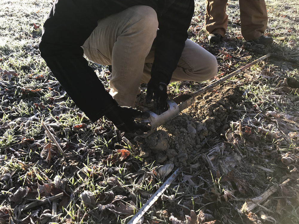
Earth Data evaluates sites for potential wastewater disposal options. We collect and analyze the preliminary field data, test workable options, and provide the best solution for our client. The data we collect provides valuable insight into soil quality and conditions and accurately assists in obtaining the correct permit for each project.
Earth Data helps its clients determine the type of environmental assessment needed for each project. We collect and analyze data to assess the potential risk of environmental contamination.
Earth Data provides technical field services to support the collection of various types of data and environmental assessments. We support our clients’ needs by providing well construction, geophysical logging, downhole video surveys, and specific testing and sampling procedures.
We know the tools we use to manage and distribute data are the key to providing the right information. Data visualization allows large amounts of data to be easily understood by placing the information in well-designed data graphics.
“You were able to break down some very complex issues so everyone understood.”
Megan d. | Information manager